Mobility that protects health: can we choose the air we breathe when travelling?
Air quality and active mobility are indisputable pillars of well-being in modern cities. In an environment such as Valencia, where the climate encourages walking and cycling—and therefore direct exposure to the environment—the efficiency of travel should not be measured solely in terms of distance and time, but also in terms of health. Given that pollution is dynamic and uneven (unlike fixed distances), identifying which streets to avoid due to poor air quality is crucial. This allows optimal routes to be mapped out which, without compromising efficiency, minimise exposure to harmful agents and protect the most vulnerable groups.
An intelligent route planner that balances journey efficiency with citizens' health
In this context, our IDAL's (Intelligent Data Analysis Laboratory) research team from the University of Valencia, as part of the Citcom.ai project, has developed a use case focused on creating a Smart Route Planner. Unlike conventional navigation systems, this tool integrates real-time data from pollution sensors in the city of Valencia. The goal is to offer citizens an informed choice: to show them the fastest route and, at the same time, the least polluted areas using an interactive map. Users select their origin and destination, and the system calculates alternatives that minimise the inhalation of pollutants, even allowing them to filter by specific types of risk.
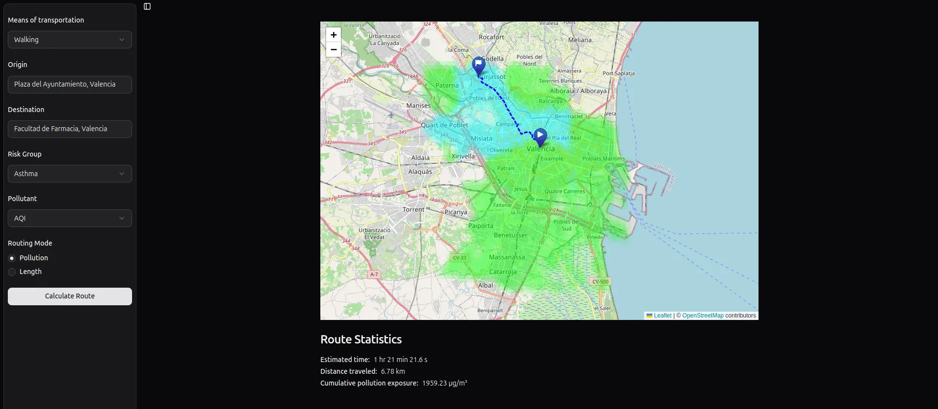
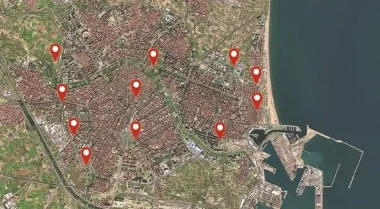
One of the biggest technical challenges of this project has been the discontinuity of the data: monitoring stations are not located on every corner. To solve this, the team has implemented advanced geostatistical interpolation techniques. This method allows pollution levels to be estimated in locations that lack physical sensors, based on nearby measurements and spatial correlations. The process involves creating a high-resolution grid and applying mathematical models to predict air quality on each street segment. This ensures full city coverage for route planning, overcoming the limitations of the current physical infrastructure.
The conceptual validation of this algorithm demonstrates that it is possible to transform complex environmental data into simple decisions for citizens. Taken together, this use case lays the foundation for healthier and more informed urban mobility. It is not just about reaching your destination, but doing so in the safest way possible, empowering people to manage their own environmental exposure and, ultimately, improving the experience of living in and travelling around the city of Valencia without a motorised vehicle.
Although the calculation engine and algorithm of the tool are fully functional and have been validated, the project remains in a phase of continuous evolution, currently working on optimising its visual interface and user experience. You can check the current status of the prototype and explore the capabilities developed to date at the following link: Valencia Smart Route Planner.
If you are interested in how these types of tools can improve mobility and health for people in urban environments or would like to explore their potential application for your organisation, please contact us! We would be delighted to hear from you.
The authors would like to thank the Regional Ministry of Innovation, Industry, Trade and Tourism (Conselleria d'Innovació, Indústria, Comerç i Turisme de la Generalitat Valenciana) for its funding under Grant Agreement No. 101100728, as part of the European Commission’s Citcom.ai project.